Atlases Charts and Maps
Showing all 7 results
-
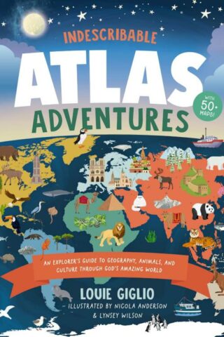
Indescribable Atlas Adventures
$28.99Add to cartWith more than 50 infographic maps, this illustrated world atlas for kids from bestselling author Louie Giglio will stretch your children’s understanding of the world as they discover more about God, science, and His amazing world!
Indescribable Atlas Adventures offers a self-guided tour for your favorite explorer throughout the seven continents and over 50 countries. Easy-to-read maps, more than 1,500 facts, and a world map that helps kids identify each continent and country will help your child to think globally and discover new insights into God’s incredible creation. Each map includes:
*an overview of each country’s population, languages, and prominent features;
*key facts about the country’s capital cities; neighboring countries; and the national bird, tree, and dish;
*notable people and their amazing achievements;
*the country’s terrain, climate, wildlife, contributions to space exploration, cultural hallmarks, and Christian faith traditions; and
*biblical and inspirational pieces, like devotional thoughts, prayers, and Bible verses that highlight how amazing God and His world are.
Indescribable Atlas Adventures is for ages 6 to 10 and spotlights several fascinating ecosystems, like the Sahara, Amazon, and Great Barrier Reef. This book has a large trim size to help kids explore fun details on each page and is a perfect “my first atlas of the world” gift for curious kids.
-
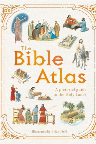
Bible Atlas : A Pictorial Guide To The Holy Lands
$20.00Add to cartDiscover where events in the Old and New Testaments took place and see how people lived in Biblical times in this illustrated guide.
Take a trip around the Holy Land with this collection of beautifully drawn maps, which show where events from the Bible took place.
Introducing The Bible Atlas – a beautifully illustrated guide to the geography, events and people of the Old and New Testaments for children aged 9-12. In illustrated guide, follow the journeys of the patriarchs, view inside Solomon’s Temple, witness Jesus’ miracles, and see exactly where Paul traveled while spreading the message of Christianity.
Dive straight into this pictorial Bible guide for kids, offering:
– An illustrated guide to key events of the Old and New Testaments for children.
– A variety of maps showing in detail where events from the Bible took place.
– An original and retro-feel illustration style combined with modern fonts, which creates a different approach compared to photographic or CGI-based books.As well as recapping many of the stories from both the Old and New Testaments, each page in this Bible guide provides additional information, illustrations, and photos explaining how people lived, who ruled the lands, and what places look like today. The information is presented in a visual and accessible way for children to grasp, immersing themselves in each map as they follow the stories and read summaries from the Bible.
-
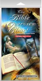
Bible Overview Chart
$12.99Add to cartA Comprehensive Graphic Outline in a new PORTABLE MAP STYLE format which allows it
to fit within most Bibles. It outlines the Old and New Testaments of the Bible and is organized chronologically, listing the chapter, book’s author, and significant events. There’s even color coded maps illustrating the location the writings took place making it easier to draw comparisons and analogies between Bible events vs. world events. This chart is a great supplement to any Bible study or can be used as a stand-alone religious timeline. -
Chronological And Background Charts Of The New Testament
$19.99Add to cartThis helpful volume helps the student of the New Testament organize and synthesize the vast amount of biblical and extrabiblical material involved by providing a helpful visual overview of the data, chronology, historical background, and criticism of the New Testament. This format allows facts, relationships, parallels, and contrasts to be grasped quickly and easily.
-
Oxford Bible Atlas
$26.99Add to cartThis new edition of the Oxford Bible Atlas, now with full-colour maps and illustrations, has been thoroughly revised to bring it up to date with regard both to biblical scholarship and to archaeology and topography. The Atlas will help readers of the Bible understand the contexts in which its stories are set and to appreciate the world from which it emerged and which formed its background. Maps show the geographical setting of the Bible’s stories and reflect the successive stages of the Bible’s accounts, while specially chosen full-colour illustrations bring the countries and their peoples to life. The accompanying text describes the land of Palestine, and its wider ancient Near Eastern and east Mediterranean settings. It outlines clearly the successive historical periods, and describes the major civilizations with which Israelites, Jews, and early Christians came into contact. There is also an illustrated survey of the relevance of archaeology for the study of the Bible. The Atlas provides a superb guide to the geography of the Holy Land throughout biblical history, from the Exodus period through to New Testament times.
-
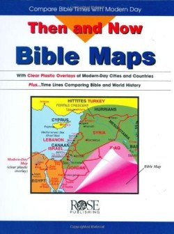
Then And Now Bible Maps
$19.99Add to cartTrying to connect the “Middle East” of the six o’clock news with the Holy Land of the Bible? Here’s a resource that fills in the blanks! Transparent maps of modern-day Mediterranean and Middle Eastern countries lie flat over Bible maps showing the lands and cities where the patriarchs, Jesus, and the apostle Paul traveled. Tremendously helpful!