Atlases Charts and Maps
Showing all 2 resultsSorted by latest
-

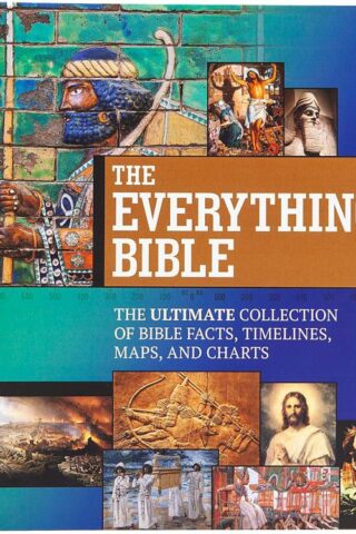
Everything Bible : The Ultimate Collection Of Bible Facts, Timelines, Maps,
$34.99Experience the Bible and its people as they come to life in The Everything Bible: The Ultimate Collection of Bible Facts, Timelines, Maps & Charts. This vital resource immerses readers in biblical teachings, history, and culture and reveals countless seldom-known details of the most influential book of all time.
With unique features such as a foldout timeline of biblical events, a complete index, and a Bible dictionary with over 200 entries, The Everything Bible is the perfect complement to your study of God’s Word.
Find answers to:
*how the Bible was arranged,
*how the Bible came to us,
*what it was like to live in biblical times, and
*why the Reformation happened.Discover:
*major themes of the Bible,
*essential doctrines,
*names of the Holy Spirit,
*key passages, messages, and stories.Learn about:
*the apocrypha,
*the Crusades,
*important Church Fathers, and
*remarkable discoveries in biblical archaeology.Encounter:
*the first generations,
*Jesus’ family, friends, and enemies,
*rulers of ancient empires, and
*heroes of the faith.Explore:
*maps of the Holy Land and Jesus’ ministry,
*pictures and photographs of historical artifacts and locations,
*illustrations of Bible stories and people, and
*a plan for reading the Bible in one year.Features:
The durable spiral binding allows each beautifully presented, full-color page to lay flat for easy viewing and page duplication in classrooms, small groups, and personal study.
Add to cartOnly 1 left in stock
-
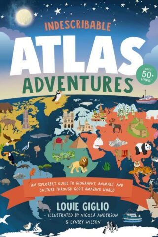
Indescribable Atlas Adventures
$23.19With more than 50 infographic maps, this illustrated world atlas for kids from bestselling author Louie Giglio will stretch your children’s understanding of the world as they discover more about God, science, and His amazing world!
Indescribable Atlas Adventures offers a self-guided tour for your favorite explorer throughout the seven continents and over 50 countries. Easy-to-read maps, more than 1,500 facts, and a world map that helps kids identify each continent and country will help your child to think globally and discover new insights into God’s incredible creation. Each map includes:
*an overview of each country’s population, languages, and prominent features;
*key facts about the country’s capital cities; neighboring countries; and the national bird, tree, and dish;
*notable people and their amazing achievements;
*the country’s terrain, climate, wildlife, contributions to space exploration, cultural hallmarks, and Christian faith traditions; and
*biblical and inspirational pieces, like devotional thoughts, prayers, and Bible verses that highlight how amazing God and His world are.
Indescribable Atlas Adventures is for ages 6 to 10 and spotlights several fascinating ecosystems, like the Sahara, Amazon, and Great Barrier Reef. This book has a large trim size to help kids explore fun details on each page and is a perfect “my first atlas of the world” gift for curious kids.
Add to cartIn stock